Z'BRDA · MOUNTAINS
Uršlja gora - two hours at Slovenia's highest church
30 July 2026 · Nino Ciglenečki & Iris · hrvatski
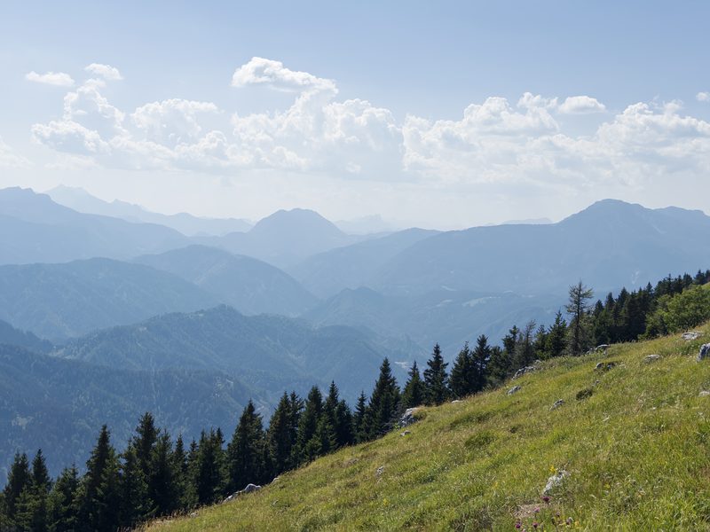
highest point 1699 m · total time 7 h 52 min · recorded with: Garmin epix Pro (Gen2)
Eleven hundred metres of ascent in Slovenian Carinthia, and a summit we refused to leave for the better part of two hours.
Ivarčko lake at midday. The three of us - Ines, Željac and me - and Stark the dog.
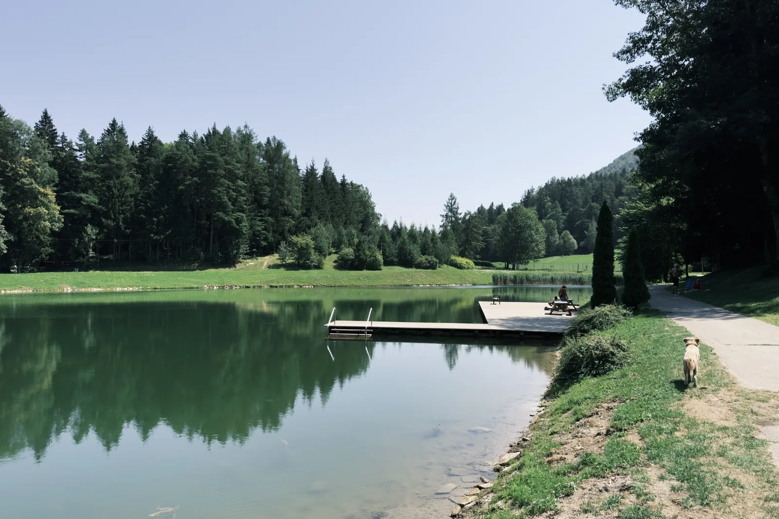
Uršlja gora is the easternmost peak of the Karavanke, between Slovenj Gradec and Črna na Koroškem. Locals call it Plešivec - the grey limestone top pokes out of the forest like a bald head, so the name is its own description. Uršlja came later, from the Gothic church of Saint Ursula standing up there.
That church is the highest-situated church in Slovenia.
The climb
It goes up steadily and without tricks. There is no flat stretch where your breath comes back - forest, cart track, then a narrower path, for three hours.
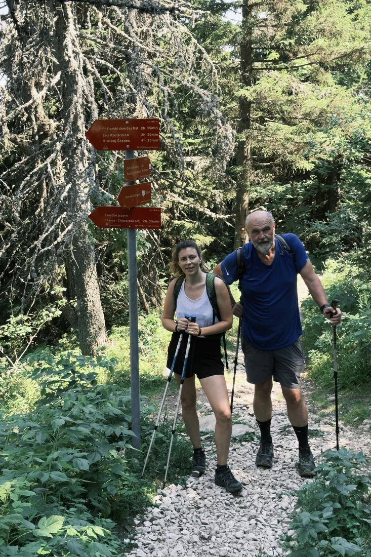
We sat down twice, briefly, just long enough for your legs to work out that you have not changed your mind.
Then the forest thins and up there, on the grassy dome, you see the bell tower for the first time. Stark saw it before we did.
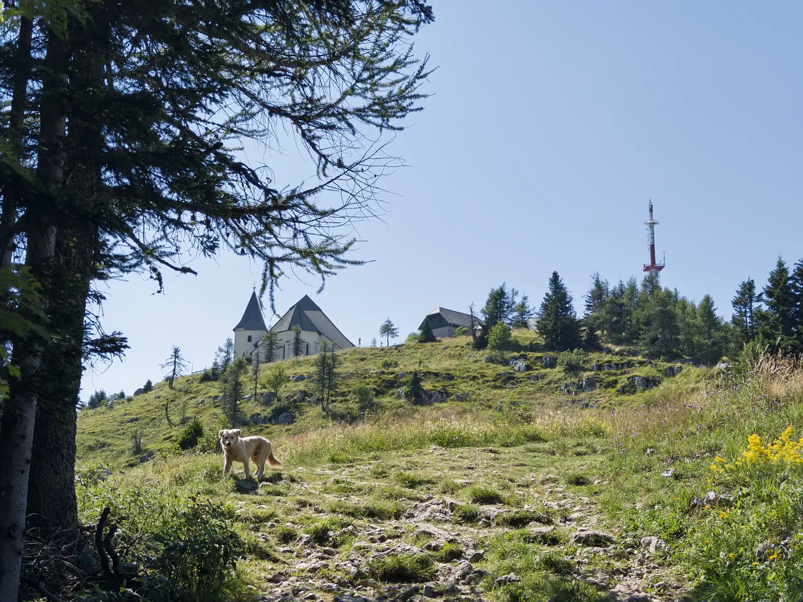
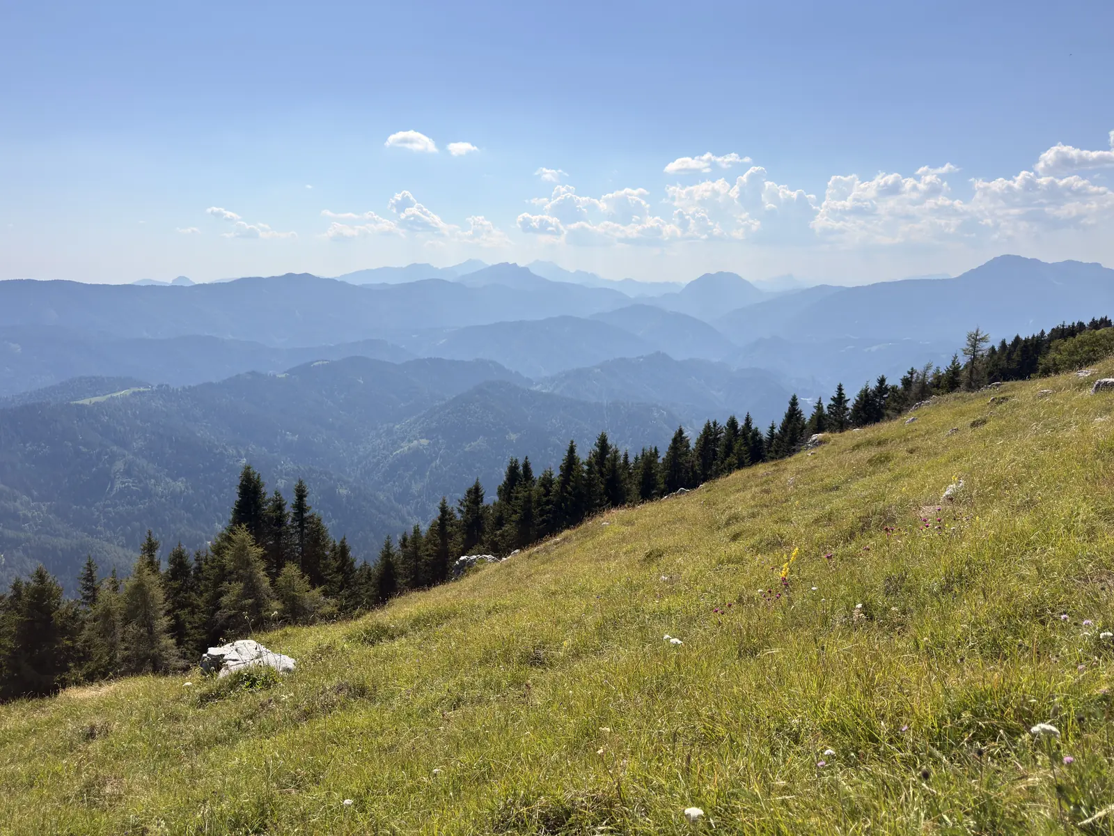
The forest stops all at once, as if cut, and half the Alps are in front of you in the haze.
Two hours
This is where the tour report ends and the reason it was worth it begins.
We did not move off that summit for nearly two hours. The whole outing took eight hours and we walked for slightly under four. The other half of the day we spent, quite literally, enjoying ourselves.
I am not making excuses. That was the point.
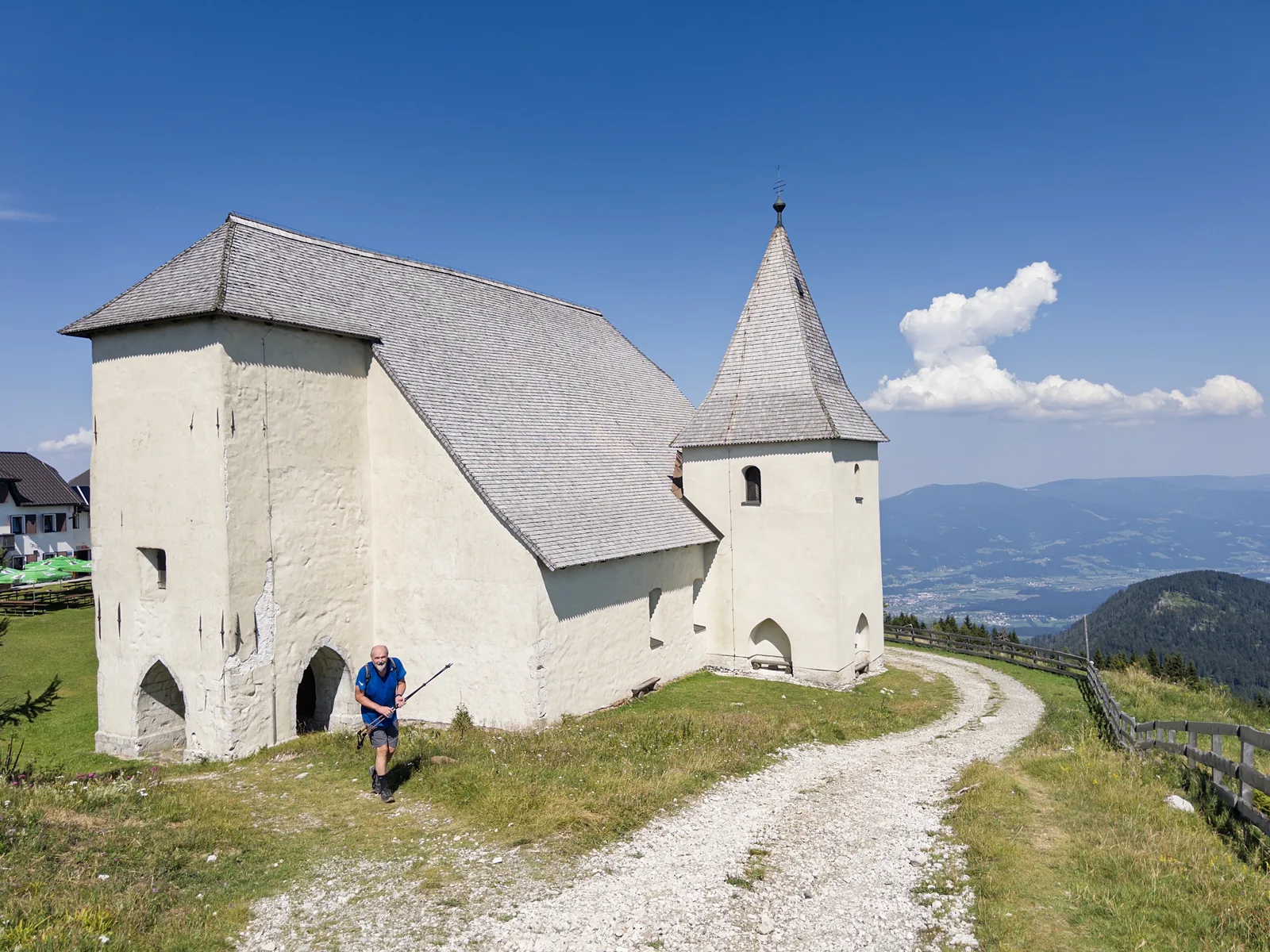
The church is Gothic, squat and white, standing up there as if it had always known somebody would come.
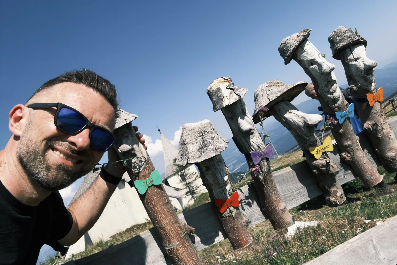
Outside the mountain hut we were met by a company of wooden figures in hats and bow ties, and right behind them by an actual lunch. The woman running the place looked after us in a way you rarely see these days.
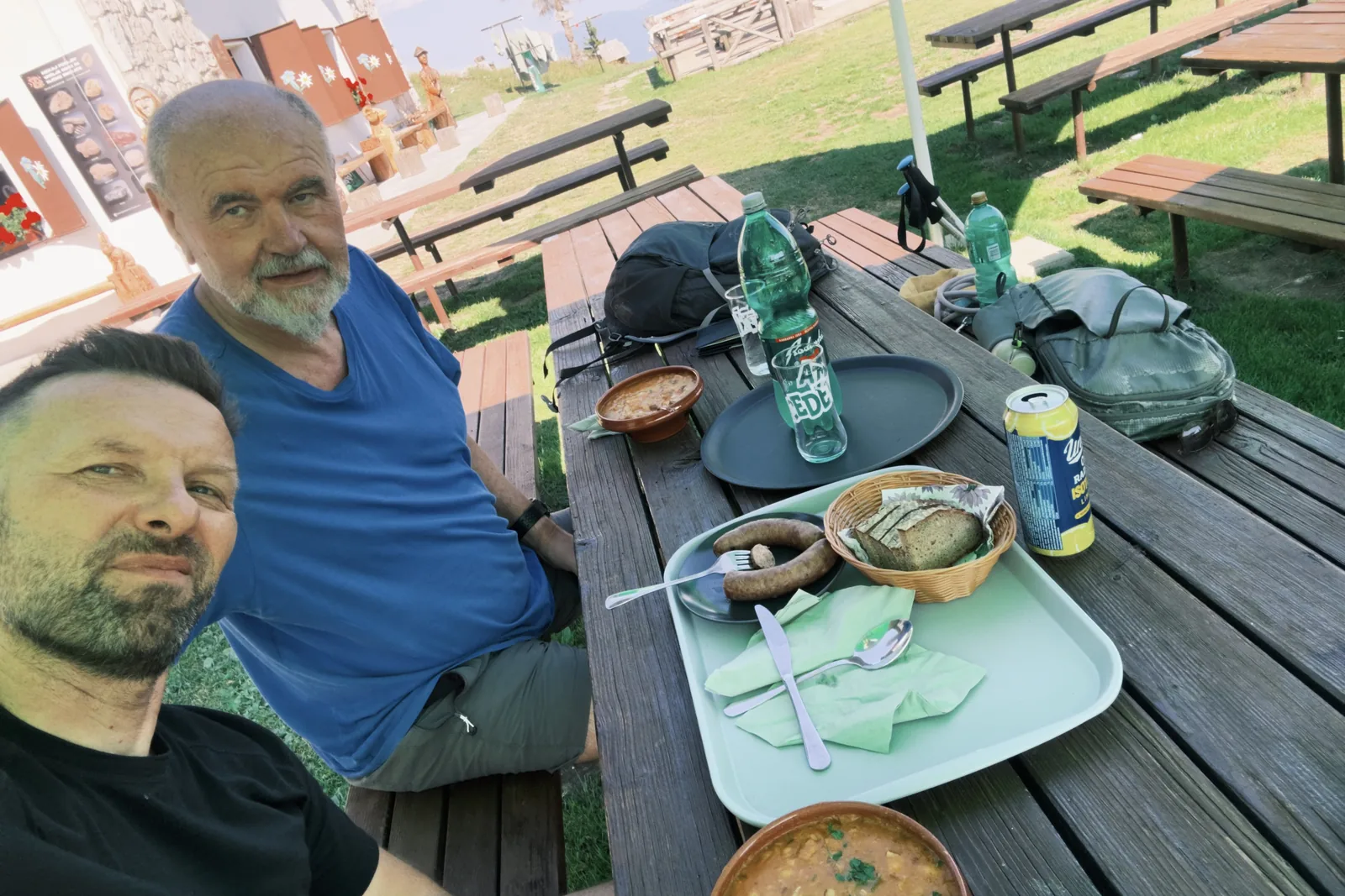
The one complaint is the bill. What you see on that table came to 54 euros. In fairness, that includes drinks, cake and coffee - so perhaps it is not as bad as it sounds.
But two sausages for seven euros. That is a bit sick.
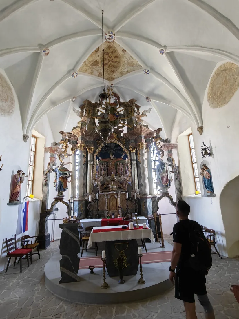
After lunch we went into the church. A ribbed vault, a baroque altar crowded with angels, wooden chairs along the wall and a Slovenian flag by the door - all of it above the tree line, where nothing normally stands but rock.
The real summit
And then we set off for the thing you actually come here for.
Because the church and the hut are not on the highest point. The real summit is a little further along the ridge, a few metres higher - where the cross stands. Ten minutes’ walk after lunch.
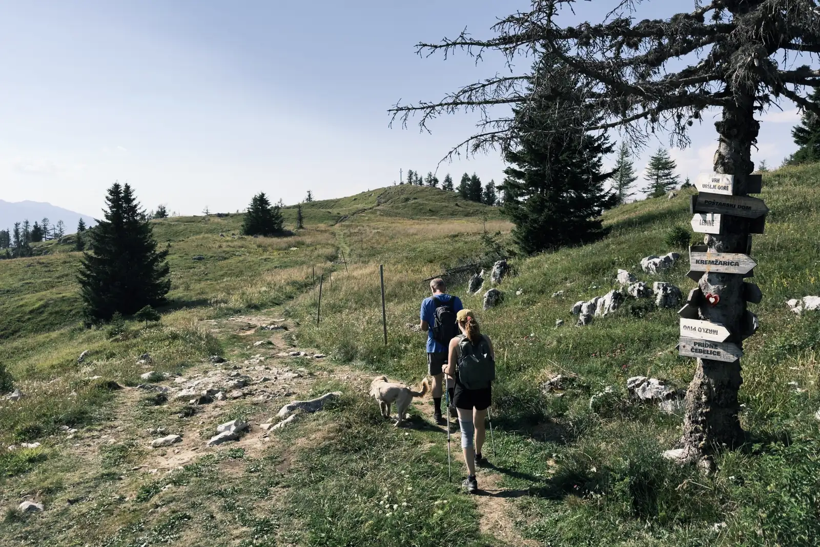
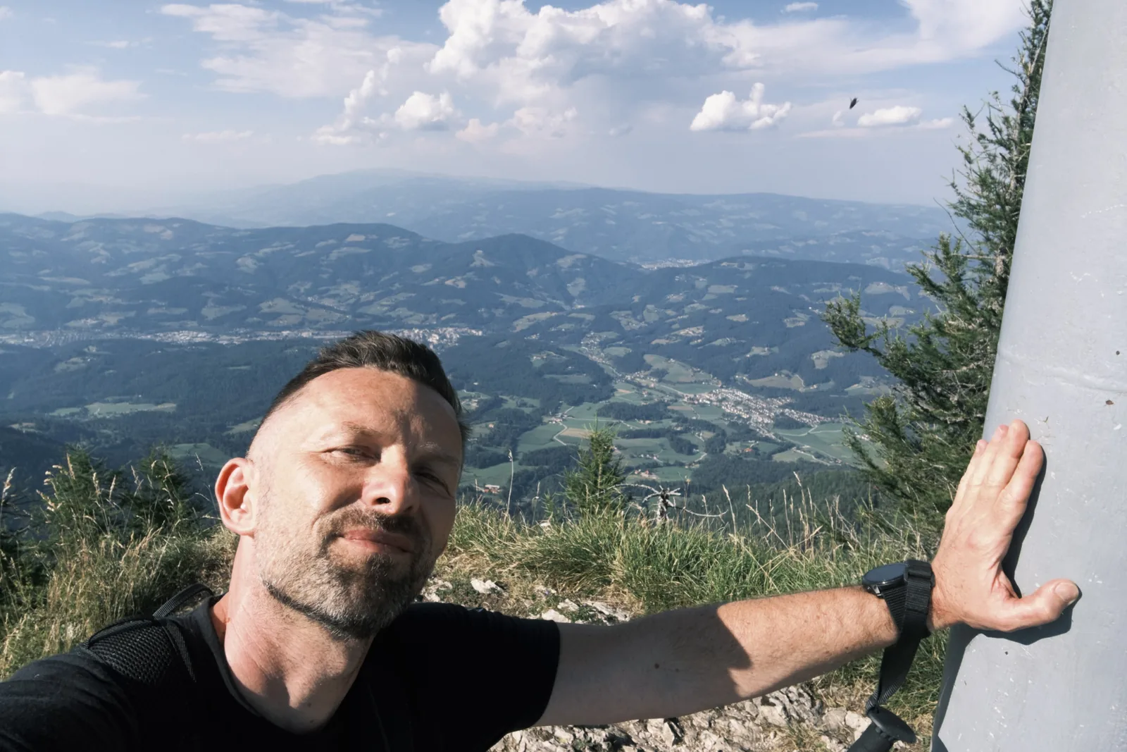
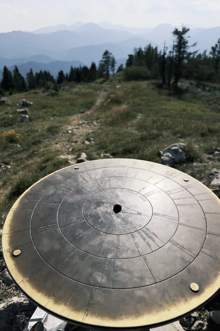
There is a brass panorama disc up there too, with the name of everything visible engraved on it. The view runs across the whole of Carinthia to Kozjak and the Kamnik-Savinja Alps - one of those views people buy plane tickets for, and you get here on foot from the valley.
The descent
We did not go back the same way. The descent runs west, then loops widely back towards the lake - longer than the climb, and harder on the legs than it sounds.
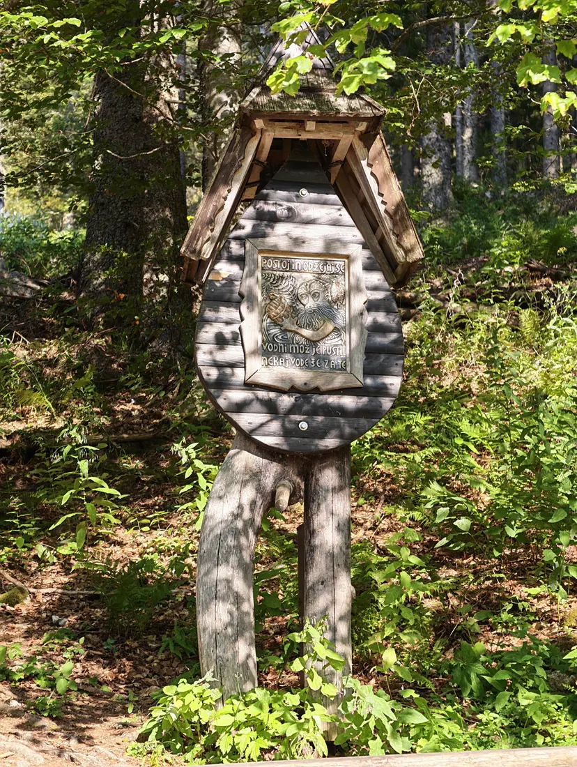
The last two hours are forest and pasture, in that afternoon light which in Slovenia lasts unusually long.
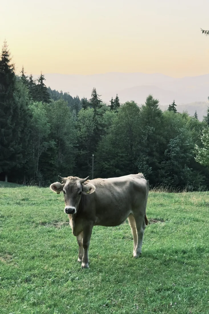
We were down at 20:13, just before sunset.
video